

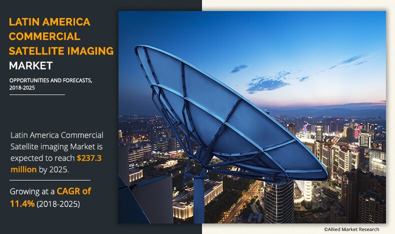
According to a recent report published by Allied Market Research, titled, Latin America Commercial Satellite Imaging Market by End User, Type, and Application: Opportunity Analysis and Industry Forecast, 20172025, the Latin America commercial satellite imaging market was valued at $98.2 million in 2017, and is projected to reach at $237.3 million by 2025, growing at a CAGR of 11.4% from 2018 to 2025.
Commercial satellite imaging refers to obtaining images of Earth and space with the help of satellites. Many private companies offer satellite images of Earth along with processing to analyze them for various purposes, including monitoring & detection of vegetation, habitat, oil pipelines infrastructure construction, generation of digital elevation model (DEM), and exploration of natural resources & archaeological sites.
Download Sample Report: https://www.alliedmarketresearch.com/request-sample/5068
Foreign investment coupled with government investment in the geospatial industry leads to the rapid growth of the commercial satellite imaging market in Latin America. The development of the geospatial industry in the region is the major factor that drives the growth of the commercial satellite imaging market in Latin America.
Key Findings of The Study In Latin America Commercial Satellite Imaging Market
- In 2017, the defense subsegment generated the highest revenue in the Latin America commercial satellite imaging market.
- In 2017, the visible RGB segment generated the highest revenue among the other type.
For Purchase Enquiry: https://www.alliedmarketresearch.com/purchase-enquiry/5068
The major players operating in the Latin America Commercial satellite imaging market include DigitalGlobe, Inc., Galileo Group, Inc., Threetek, Telespazio, SkyLab Analytics, Harris Corporation, Satellogic, Trimble Navigation Ltd, Airbus, and UrtheCast Corp.